
Part of the reason for heading rapidly down to Rørvik was because of the weather forecast. For some days the GFS model had been forecasting a windy weekend. However, there seemed to be some uncertainty as most of the other models were showing quite a balmy quiet weekend. Even the yr.no forecasts from the national Norwegian meteorological office were showing reasonably mellow winds to start off with. However, by the time we got to Rørvik, the models were all starting to coalesce around the original GFS forecast with strong winds forecast for several days. This focused our minds. We had been stuck in Rørvik previously in strong winds, and while it was fine, it wasn’t that comfortable with swell running in through the entrance and into the harbour.
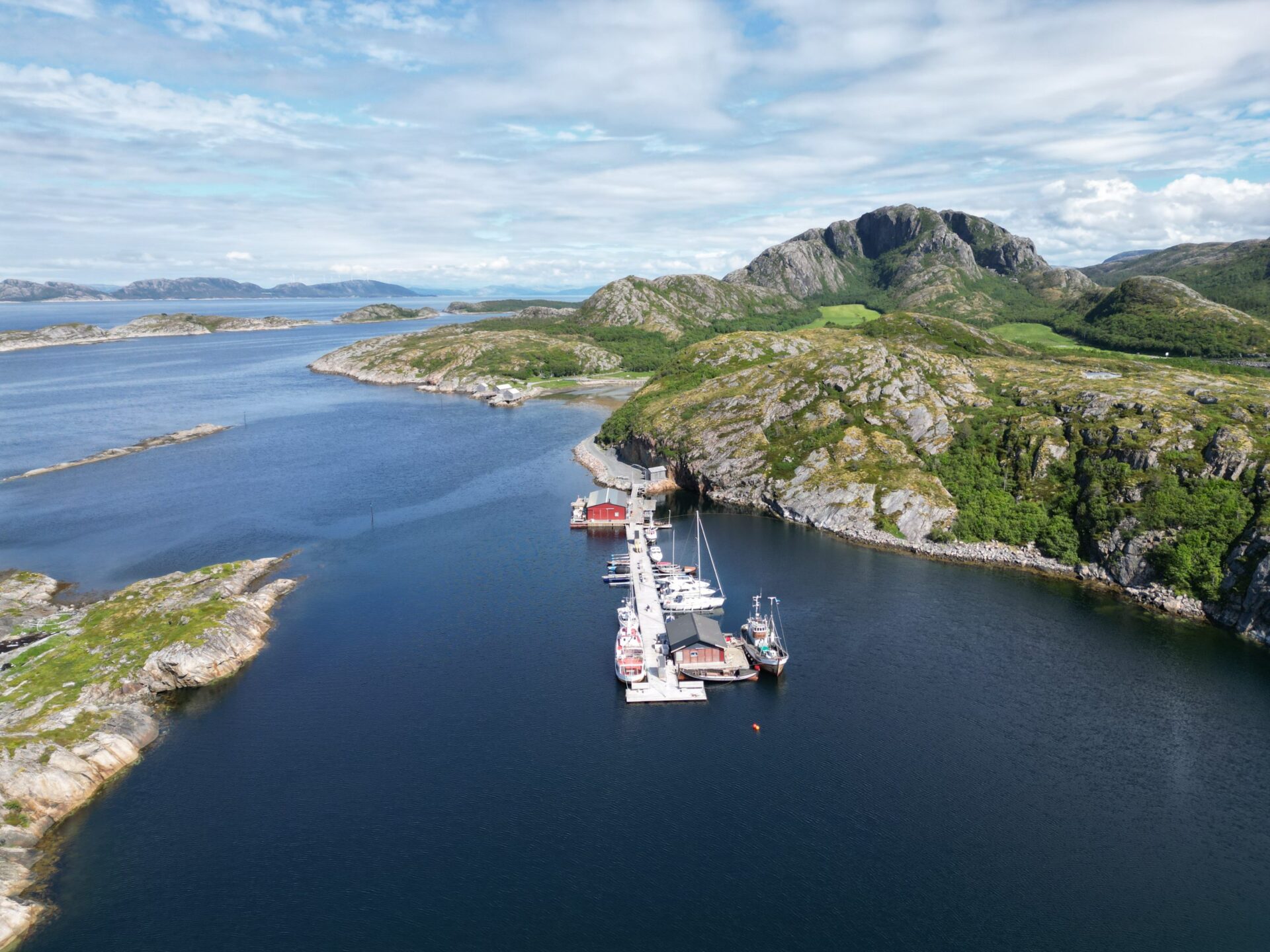
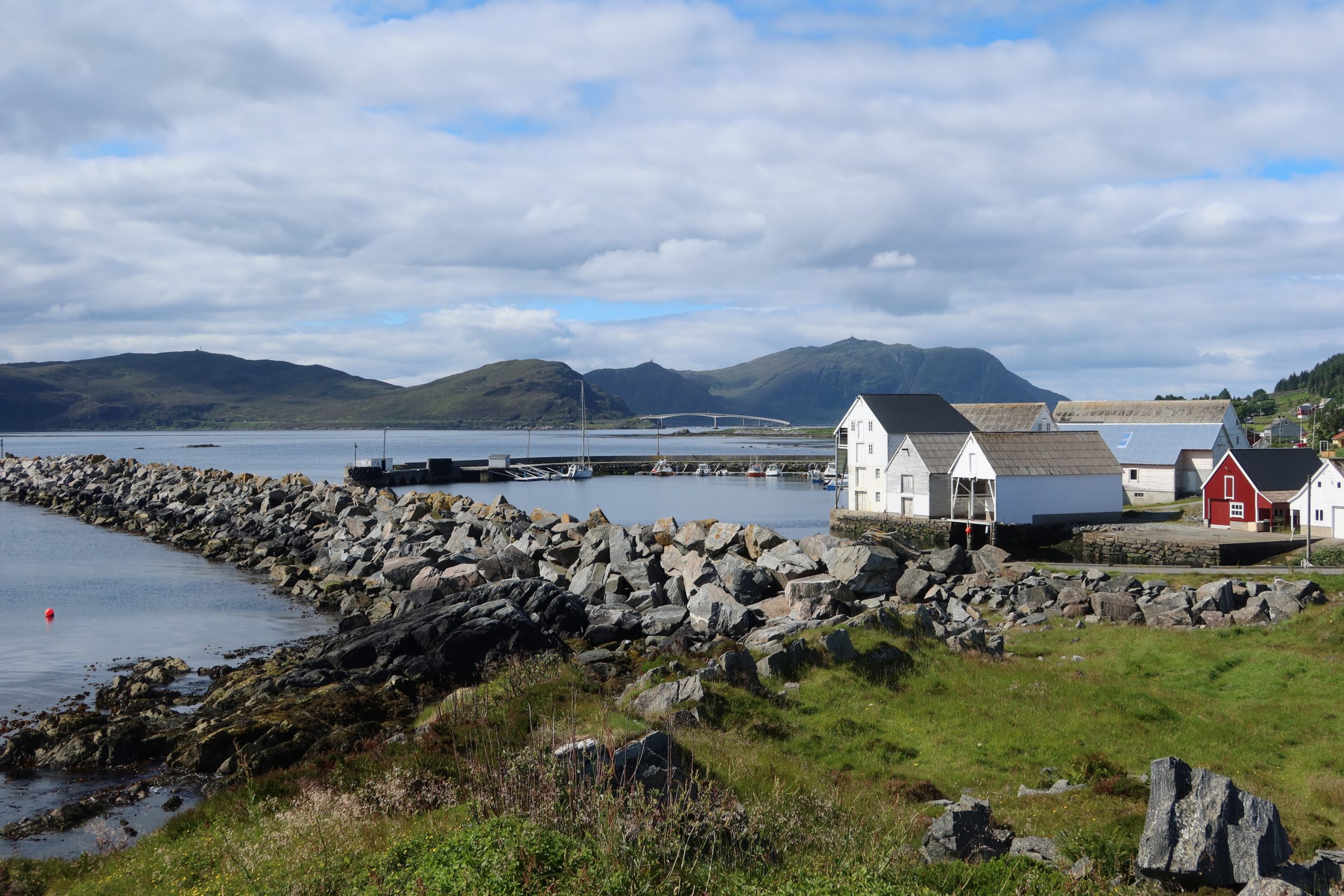
So, after a good deal of hunting, we settled on a small harbour on the north side of Jøa – an island about 15 miles south of Rørvik. This looked on paper like it should be good shelter, so we took a punt and headed over there. We managed to sail some of the way, but with the wind on the nose weaving through the rocks for the last part we had to motor. It was a fairly straightforward entrance and, while the jetty used to be right by the entrance to the bay, they had moved it a couple of years ago to further into the rocky bay and that made me feel that it should be pretty sheltered. This went against one of the automatic algorithms on a pilot site (which will remain nameless!) which said that it was poor shelter, so it was me versus the algorithm. Now …. I don’t want to brag …. but …. I reckon the score is Andy 1, Algorithm 0. The winds did turn out to be very strong and while it wasn’t always really comfortable, it was sheltered and safe.
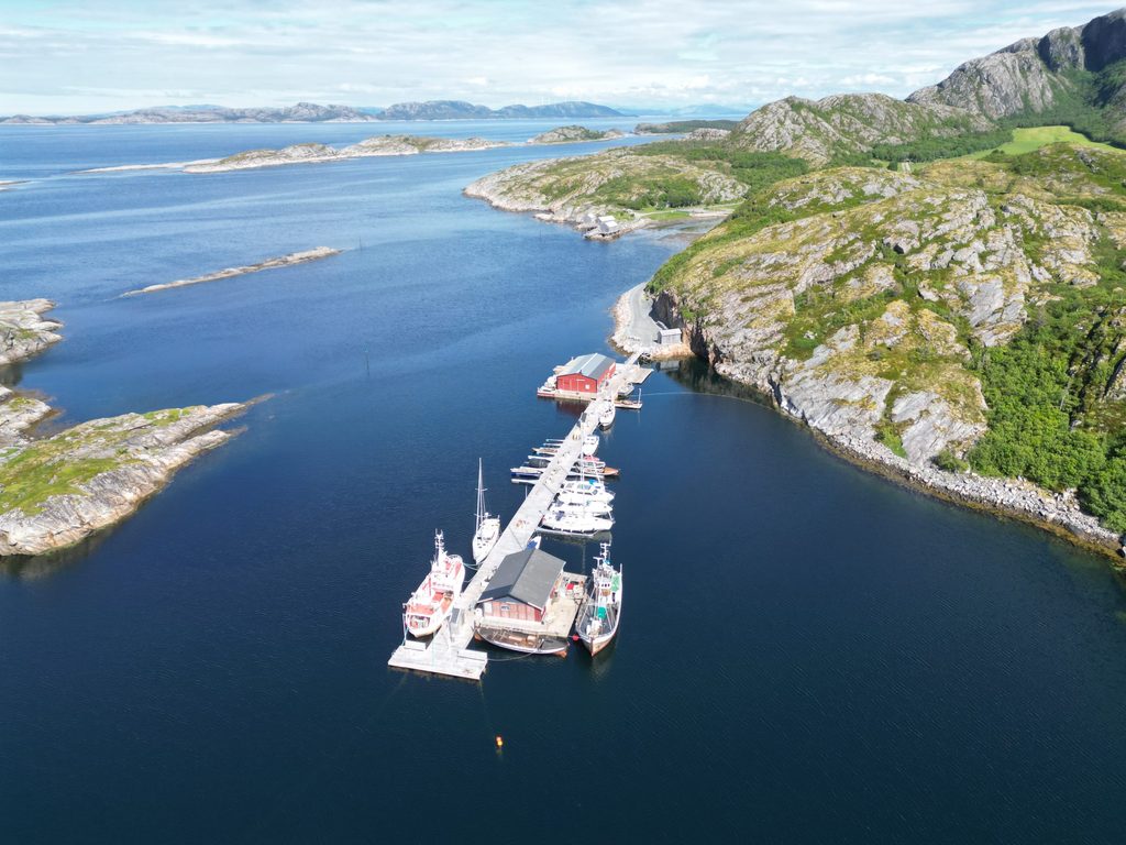
We were greeted by the harbourmaster who asked us to move down a bit as he was expecting several yachts in later that evening – what appeared to be a Norwegian cruise-in-company. After they left, it was just us and one other Norwegian boat who was sheltering from the winds as well as he made his way north.
So, we set to exploring the island. The first walk we did was to the Jøatrappa. These steps wind their way up the Ramnfjell slope and are built to make the climb manageable. There are various benches for resting and viewpoints as you go. I nobly decided to take advantage of one of these and spend some time allowing my knees to recuperate to get down again while Anne did all 932 steps to the top of Ramnfjellet. Even from where I stopped, the view of the Namdal coast was excellent, but it was apparently even better from the top. The path is around 1,000 metres in length with an altitude gain of about 200 metres.
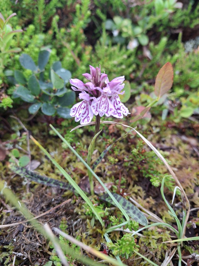
On other days we tried some additional walks and despite not really finding a path on the first one did find spotted heath orchids. We then carried on along a track passing along the north shore of the island. Very attractive, but eventually we did have to turn round!
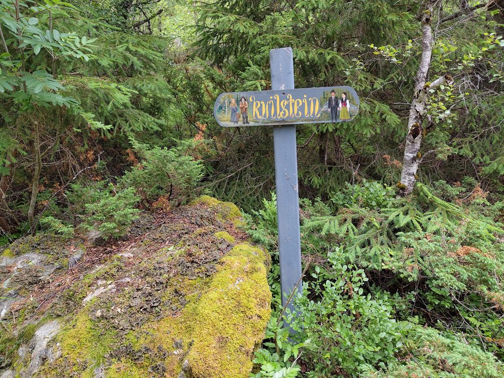
The next one we tried was a path called the north road. This is a 4km track between Brakstad and Fosnes. Traditionally this was the route that people took when they went to church in Fosnes on the other wide of the island. The main church was there from about 1250 until the end of the 19th century. Around 1.5km along the track is a stone known as the “Kvillbakkan”. This stone is where people apparently used to stop to change into their church clothes – necessary as many of them may have come by boat from other islands and moored in Brakstad harbour. The path was restored through local efforts in 2022-24 and is now a lovely walking/cycling path to Fosnes.
The walks were very picturesque – across rocks and through woodland and, while we didn’t really mean to stay for three days the weather had other ideas. So, while we waited for it to improve this was a lovely place to be stuck.
Leave a reply