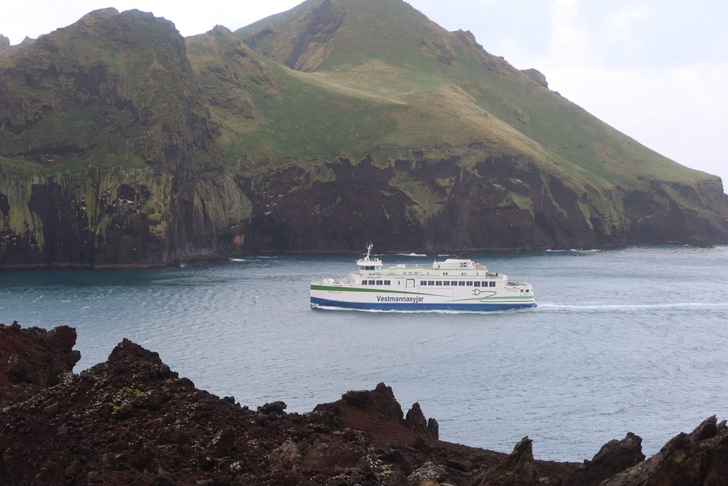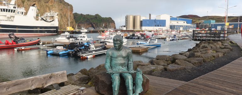
Heimaey is the largest island in the Vestmannaeyjar archipelago, and the largest and most populated island off the Icelandic coast. It is just 4 nautical miles off the south coast of Iceland, but feels quite a bit further. Depending how you define an island, there are 18 islands and about 30 rock stacks and skerries in the archiopelago. Heimaey is the only populated island with a population of just over 4,000 people. It is also home to the only Icelandic island airport and island golf club and these two taken together cover a fair portion of the island.
In fact, in 1972, they covered a much larger proportion of the island as a volcanic eruption is 1973 changed everything. On 23 January 1973, Eldfell volcano started to erupt. The ground shook and multiple fissures started to form. Theese fissures grew to around 1,600 metres in length, and lava began to erupt, spraying into the air. Volcanic ash was initially blown out to sea, but a change of wind meant that half a million cubic metres of ash settled on the town. Things then got worse as, when the fissures closed, the eruption changed into a concentrated lava flow, which headed straight towards the harbour. The inhabitants were evacuated, mostly by fishing boats, as almost the entire fishing fleet was had returned to the harbour.
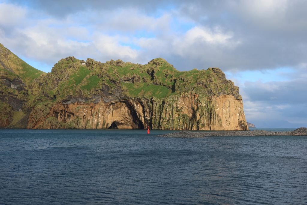
This ominous lava flow threatened to completely block the harbour and, given that this is the economic heart of the island, the islanders started to try and protect their home. They sprayed the lava with six million tons of cold seawater. This helped solidify some of it and diverted some of it, saving the harbour. Indeed arguably, it has made it a more secure harbour with a much narrower entrance.
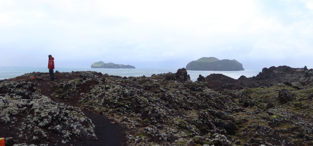
So, this morning, to try and beat the wind, we headed off for a walk round the southern lava field. A marked trail took us past the fort and round the headland formed by the encroaching lava. From there we made our way around to the north-eastern side of the island, weaving through lumps of lava and finally back on a road into town. It is a dark, surreal landscape with no consistent shapes or recognisable patterns – almost like a set of seemingly random sculptures scattered over the landscape. It is difficult to imagine the pattern of the flow with little consistency about the heights and shapes of the rock.
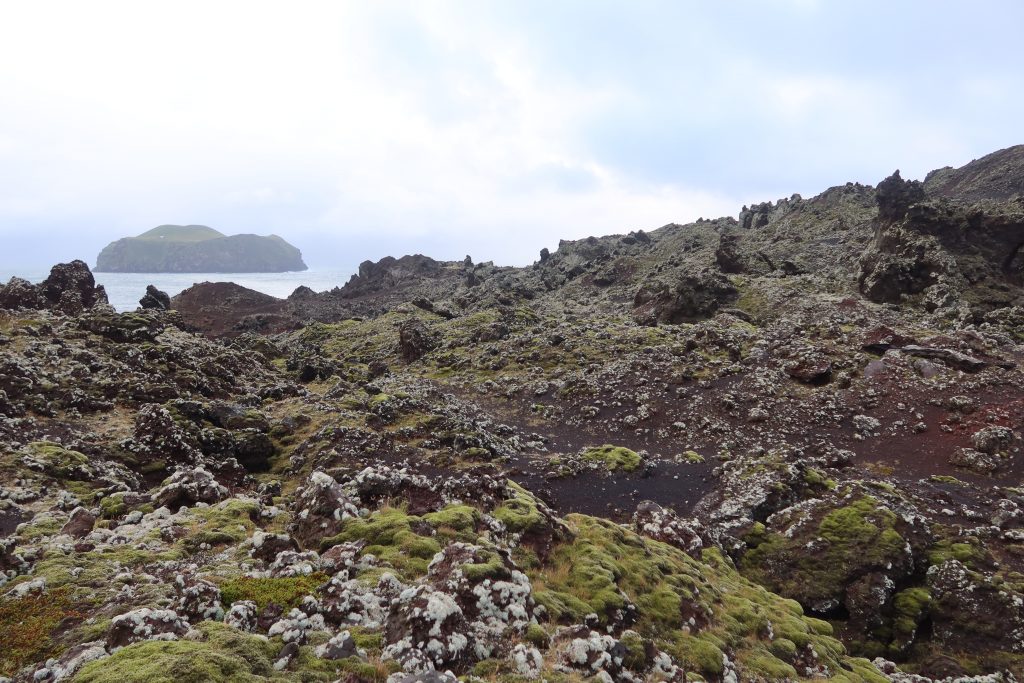
Lava is essentially molten magma (or rock) from the centre of the earth and, it is hot – generally it ranges from about 800 °C to 1,200 °C depending on its chemical composition. Once they had saved their harbour, the islanders then thought about how they could use this heat as the lava takes many many years to cool down. The heat was therefore used to heat water and then all the homes on the island. Of course many of these were taken out by the eruption, so had to be rebuilt, but at least they had built-in heating available! Once the lava had completely cooled, this free heating dried up and so, the ever-resourceful islanders, built a giant ground-source heat pump. This used sea-water to create heat and pump it around the island to heat the homes – an inspirational community project.
By the afternoon though, the wind had started to increase, and with the boat being blown off the jetty, it seemed best to hide ….. So I did!