This morning we escaped the campsite before 10am ensuring we weren’t sanctioned for being lazy …. We left Robe and headed half an hour down the road to a town called Beachport. This does pretty much what is says on the tin – it has a beach and it used to be a port. It is now though a lovely spot. We parked at the tourist information (combined again with the library) and, as ever, got a really helpful person. She recommended various things, but particularly the Bowman Scenic Drive. Being the obstinate people we are we decided that we didn’t need to drive it, we could walk it. Well, clearly were were the only ones in Beachport daft enough to do that in 28 degrees! However, it was a lovely walk, albeit a little long (and hot!).
We started by walking through town and out to the Pool of Siloam. This shares a name with a number of rock-cut pools outside the walls of the Old City of Jerusalem, but no resemblance! The pool is fed by underground springs and is seven times more salty than the sea, so it should be easy to float in when swimming. Unfortunately, late in the season, it tends to have evaporated down quite a bit and I took one look at the sludge around the edge and decided against swimming. Anne though …..
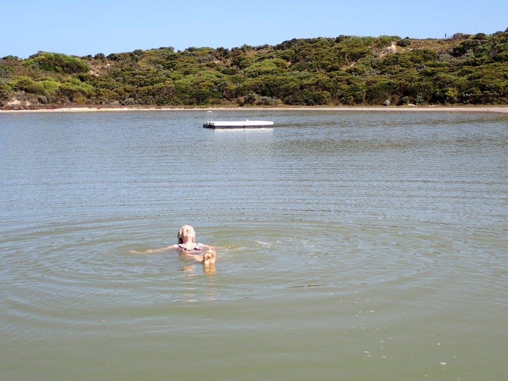
From there we walked on to Salmon Hole Beach and went swimming there. Not as salty, but also not as smelly! In fact, it was a beautiful beach and would have merited some lying around and beach relaxation if it wasn’t for the presence of some horse-fly like bugs and their vampiric tendencies. Nevertheless, a lovely swim, albeit fairly chilly, but then this is the Southern Ocean.
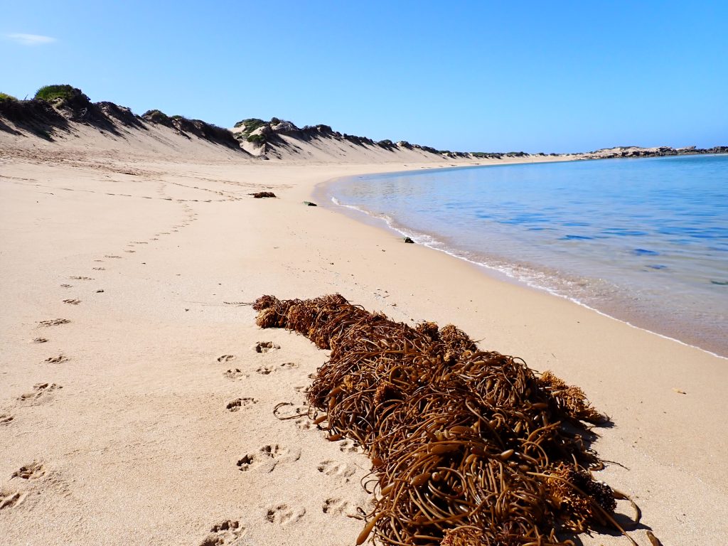
It turned out that we were quite lucky with the swimming. The beach was well protected with a couple of reefs offshore, but we chatted to a local who was also a diver and he told us that yesterday the water was really mucky. This is apparently all to do with an upwelling current offshore and the material getting trapped in by the reef. In fact, as soon as he finished chatting to us, he was heading home to get his sub-aqua kit as he wasn’t expecting it to be clear yet. Somehow, overnight, it had all washed away ….
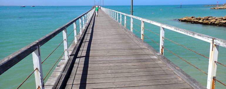
From there the scenic drive meandered around and took us slowly back into town and the jetty. A walk down the jetty was one of the recommendations of the information office guide, so we had to do that. She had omitted to tell us though that the jetty is the second longest in South Australia at 772 metres long – a 1.5km round trip. We did it though ….
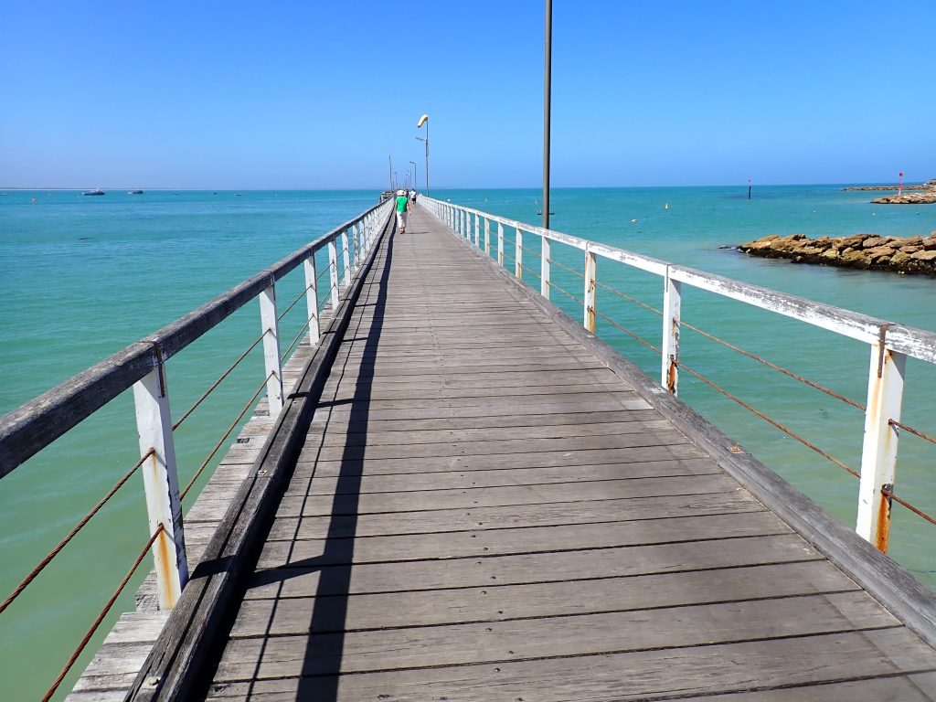
The jetty is a mecca for fishermen, indeed the whole of Beachport is and the town has one of the largest crayfishing fleets in the area. The crayfish is actually Jasus edwardsii, otherwise known as the southern rock lobster, the red rock lobster, or the spiny rock lobster. They resemble lobsters, but lack any pincers on their walking legs. What they do have though is delicious flesh and they are prized for their meat. So, lunch was a couple of rolls from the bakery with crayfish from the Fishermen’s Cooperative ….. Delicious ….
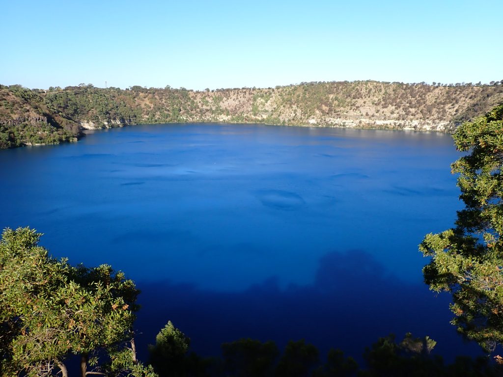
We then headed another hour or so east and a little inland to Mount Gambier and found a campsite there. From the campsite it was about a half hour’s walk up (!) to the Blue Lake. This whole area is volcanic and the Blue Lake was formed by a volcanic eruption. The original limestone in the area was covered by lava about 4 or 5000 years ago forming a dark basalt. Later on as the groundwater percolated through the volcanic conduits it was super-heated and pressurised. When the pressure built up too much, it finally exploded with lumps of basalt and limestone of up to 20 tonnes being thrown out. The whole area was also covered with ash and this formed the current crater. It all then filled with water forming the current Blue Lake and it really was quite blue ….
Leave a Reply