We left Ross first thing carrying on our trek south. Our route takes us along the coast past the New Zealand Southern Alps. These run in a northeast to southwesterly direction for most of the length of South Island – around 500km. The tallest peak is Mount Cook at 3,724 metres, but there are 16 other points which exceed 3,000 metres.
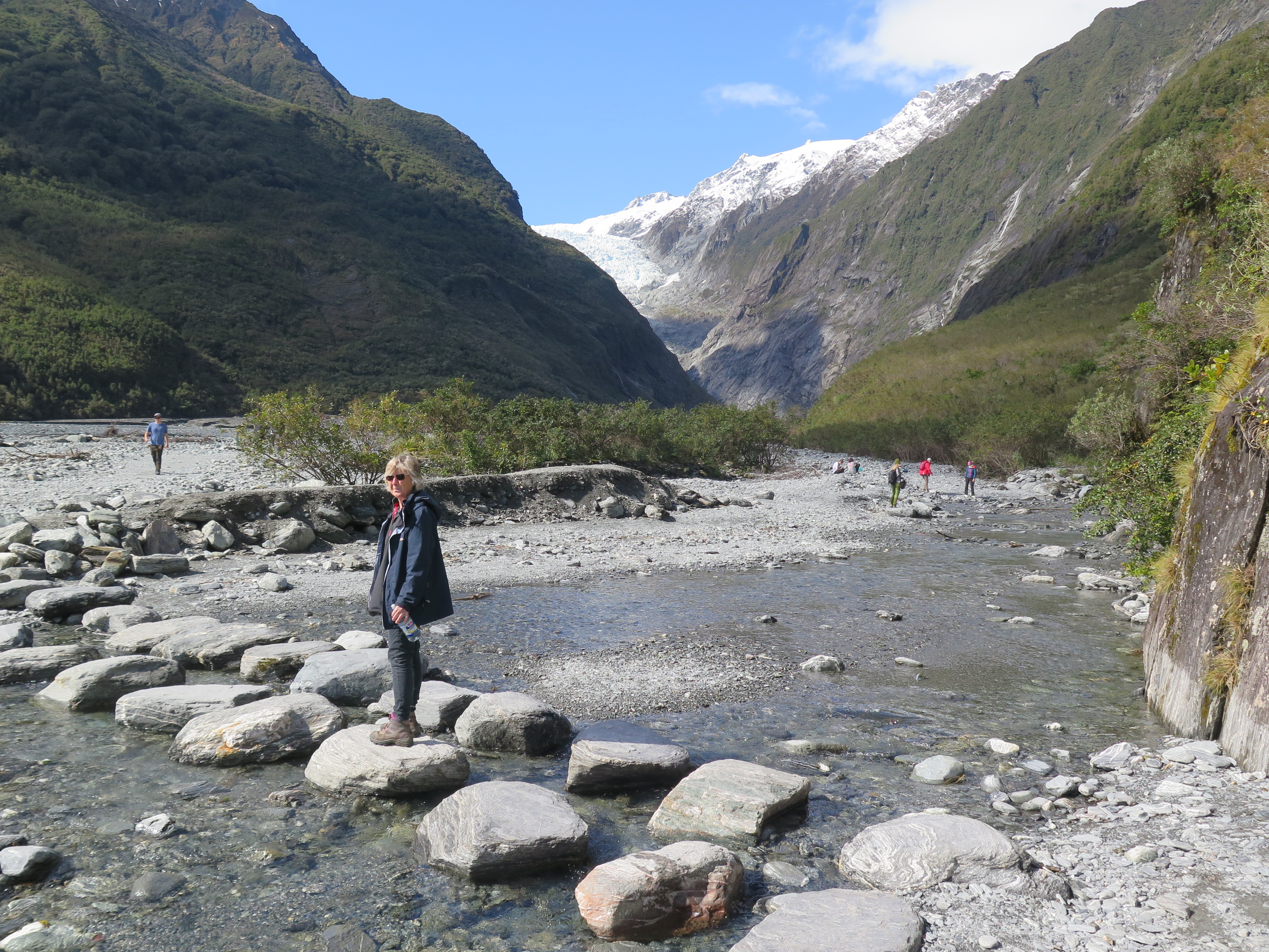
On the west coast there are three glaciers which used to come right down to sea level and we stopped at the first of these – the Franz Josef glacier. The first European description of the glacier was made in the log of the ship Mary Louisa in 1859. The glacier was later named after Emperor Franz Joseph I of Austria by the German explorer, Julius von Haast in 1865, who in turn lent his name to the township we are staying in tonight.
However, the Maori people were clearly here first and their name for the glacier is much more expressive – Kā Roimata o Hine Hukatere. This translates as the tears of Hine Hukatere. The story goes that Hine Hukatere loved climbing in the mountains and persuaded her lover Wawe to climb with her. He was swept from the mountain by an avalanche and Hine was devastated. Her tears swept down the mountain and froze to form the glacier. Of course you could stick with naming it after some Emperor who caused international tensions with his annexation of Bosnia and Herzegovina in 1908, subsequently causing the Bosnian Crisis or you could adopt the Maori name – I know which gets my vote ….. In fact the official name of the glacier is Franz Josef Glacier / Kā Roimata o Hine Hukatere. This is as a result of the passage of the Ngai Tahu Claims Settlement Act in 1998.
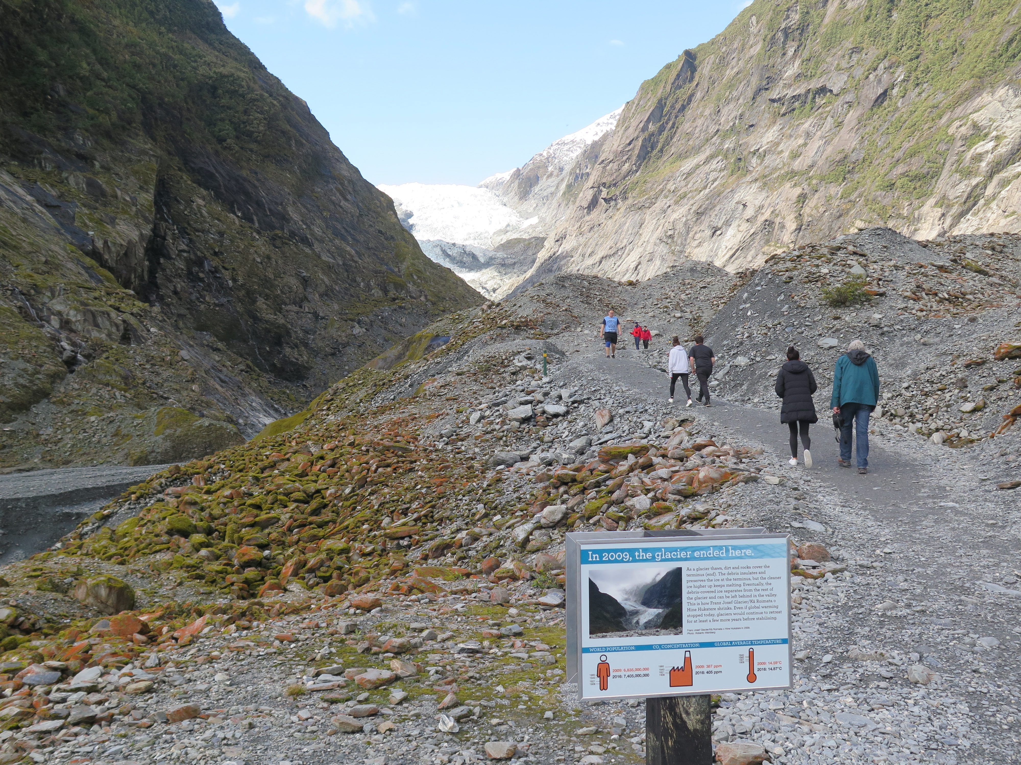
The walk from the car park to the main glacier view is about a one and a half hour round trip. This is partly because the glacier has gone into rapid retreat since 2008. The picture below demonstrates this quite effectively. The notice shows the 2009 end point of the glacier and we still had some way to walk to the end of the path and even this was 750m from the glacier face.
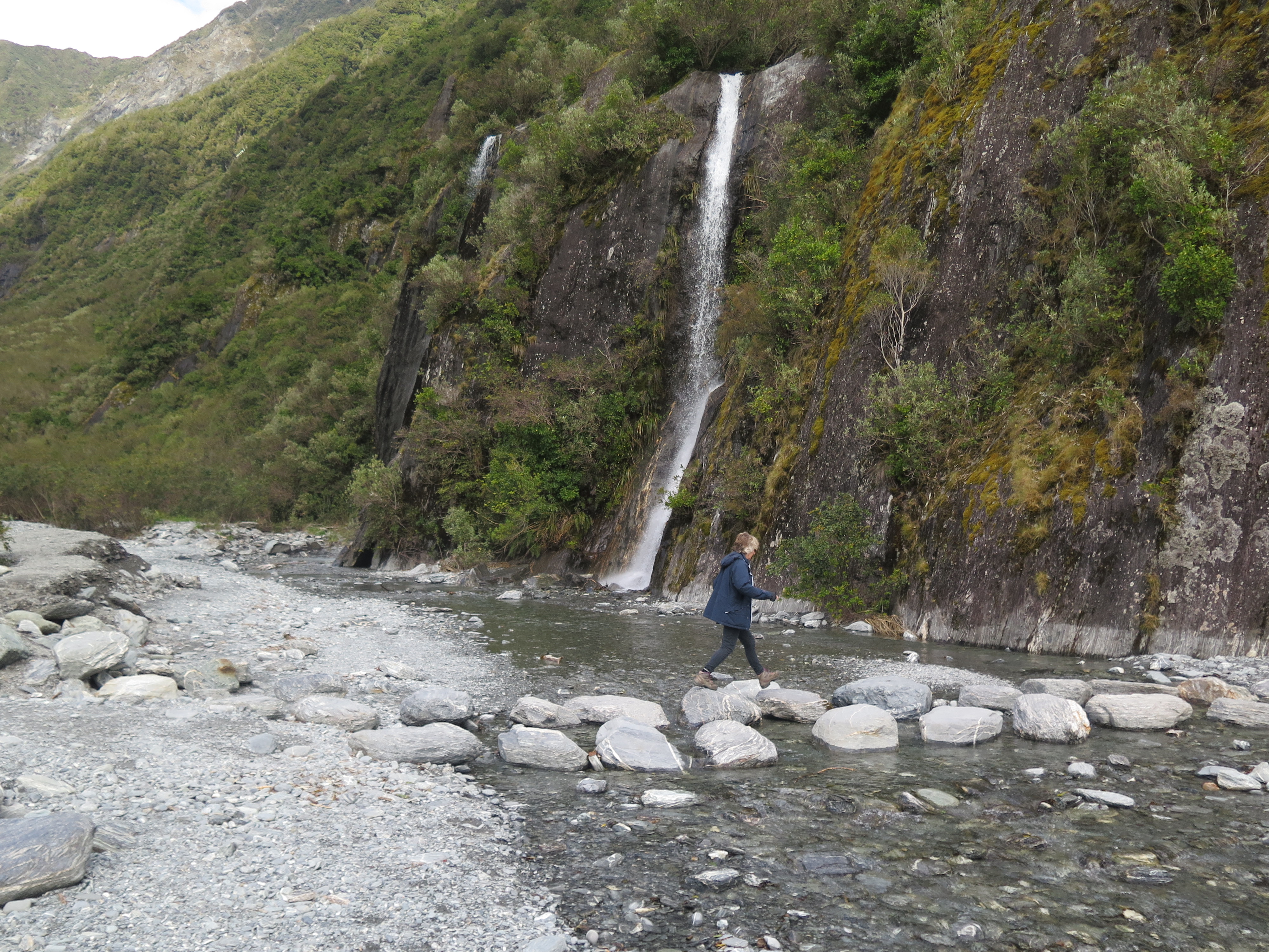
The walk to the glacier was beautiful taking us past waterfalls and along the glacier stream bed.
Once we got back to the car park we did one further walk to Peter’s Pool – a kettle lake formed when the ice retreated. These features are formed when a huge block of ice gets left behind as the glacier retreats. When the ice melted it was contained in depression called a kettle hole and it is this which forms the lake.
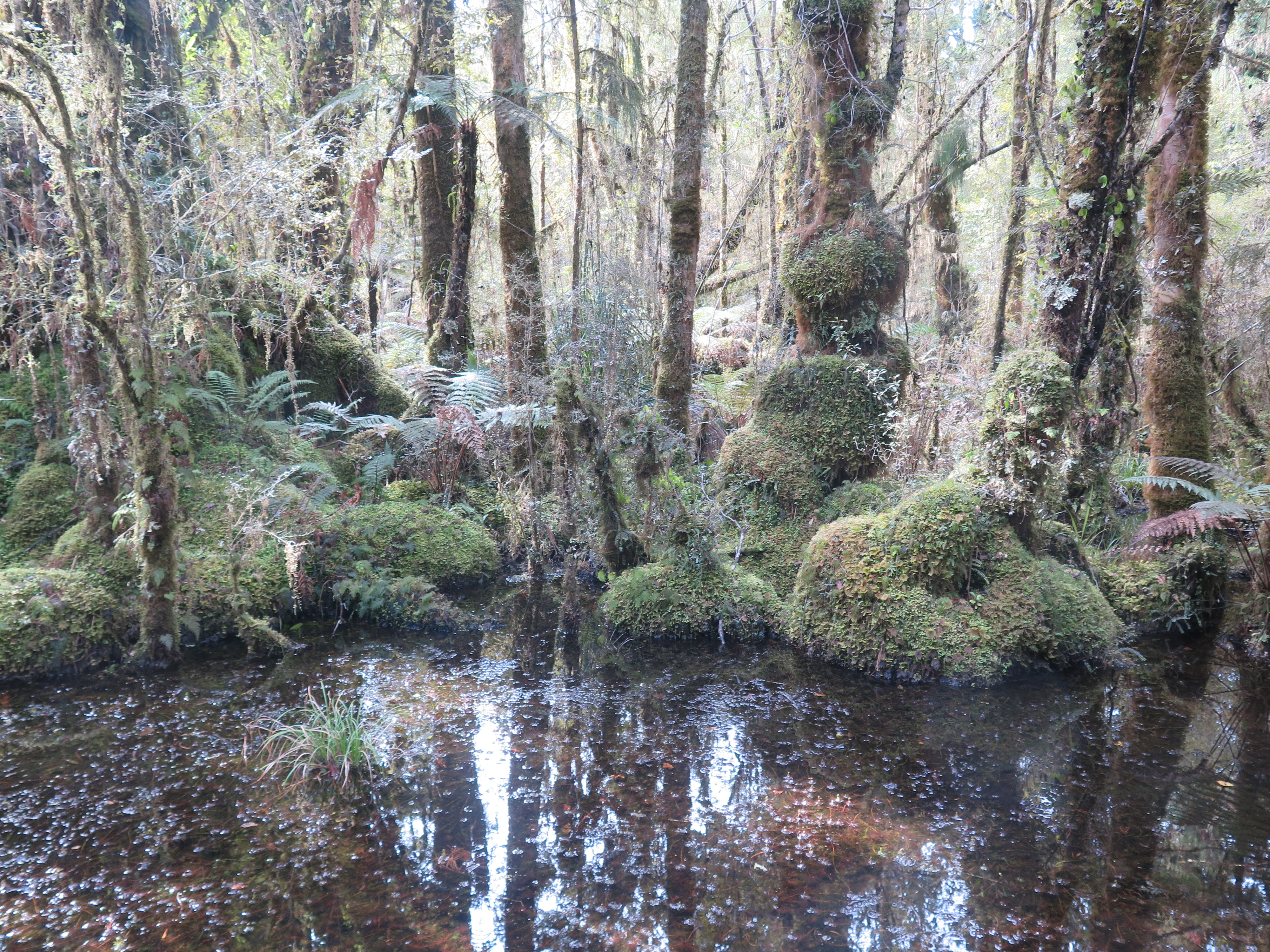
From the glacier, we headed south again. The road weaves between the coast and valleys further inland and just short of Haast we stopped once more to do a couple of walks – called Ship Creek walks. The first of these was into a kahikatea forest. These ancient tress are largely lost and have been relegated to a few protected area (including Ship Creek!). They are actually conifers but are confusingly called White Pine. They date back to the Jurassic period and like boggy and swampy habitats. They form a raft of buttressed roots with interlocking tendrils and these wrap themselves round neighbouring trees for support. They are thought to live up to 600 years and some of the specimens in Ship Creek were huge. The whole area had the feel of a swampy, primeval forest.
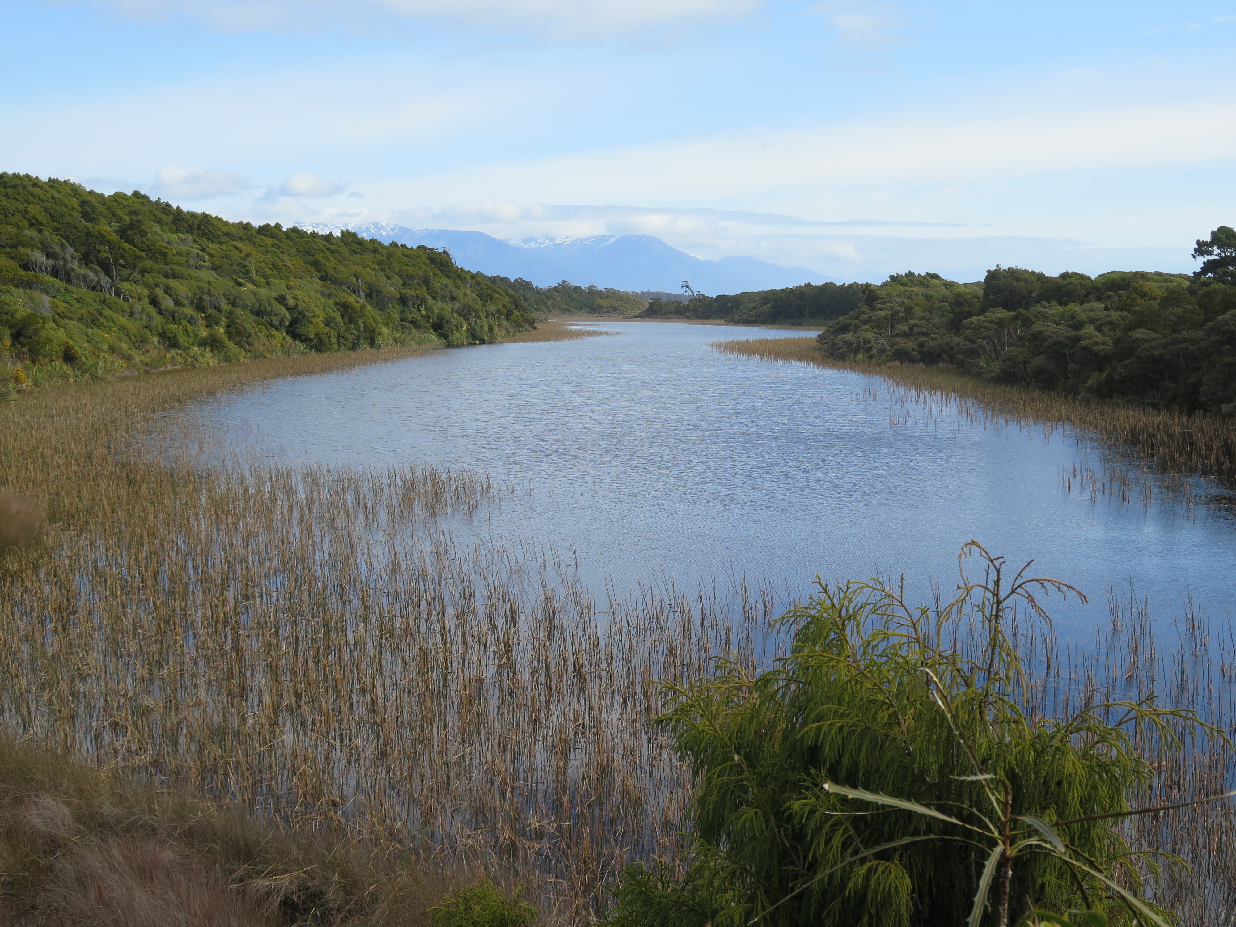
The second walk took us to a dune lake and then back along the beach to the car. A couple of contrasting walks starting from exactly the same starting point. From there we headed on into Haast – our stop for the night.
